
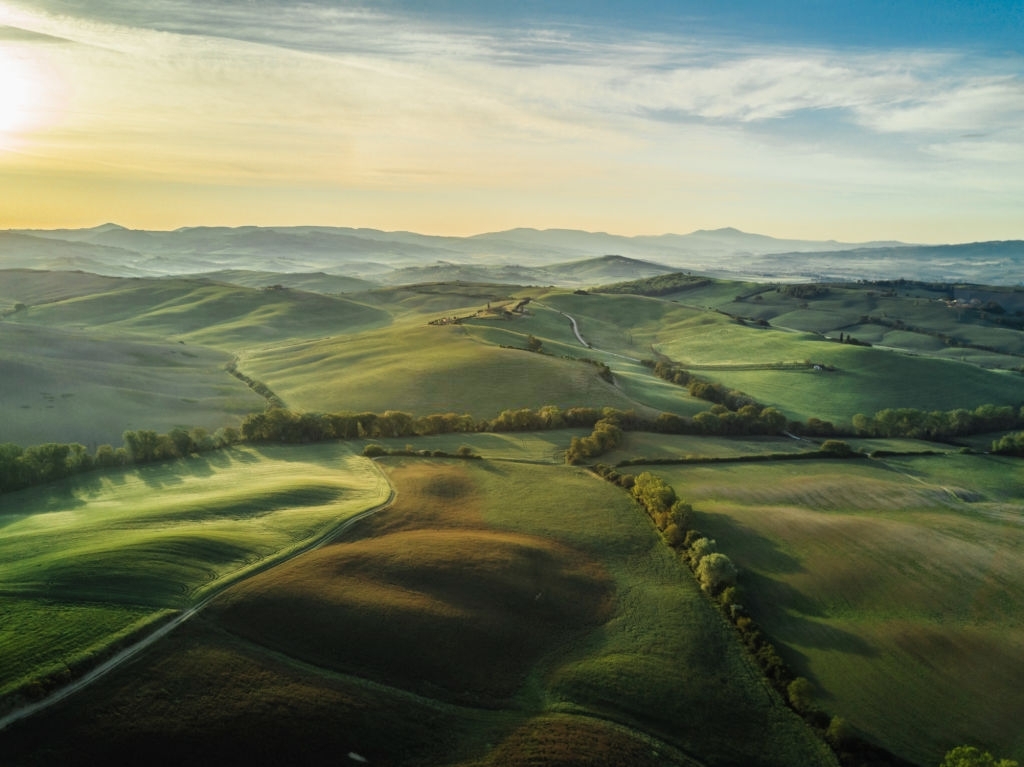
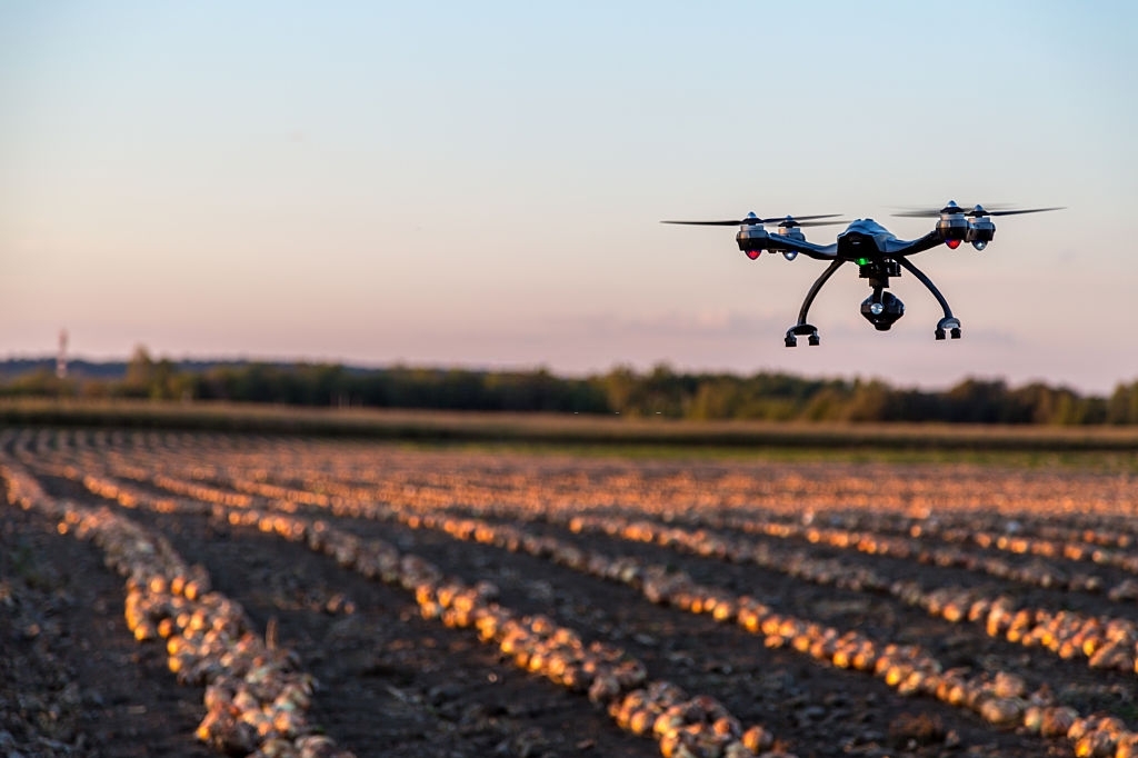
Traditionally, it would take hours of walking in the field to inspect crops. Drones help farmers save time since they can monitor crops and livestock and provide quick visual data on crops. The images can be used to create 3D maps of farmland to understand irrigation techniques. Data collected by drones can be used to ensure that the crops and soil receive the required nutrients and minerals for optimal growth, a process known as precision agriculture. Drones can also be used to monitor crop and soil health over time. The increased efficiency offered by drones ensures crop yield and productivity.
SITE SURVEYING
Drone surveying simplifies multiple applications for farmers, from initial planning to continued maintenance. Aerial surveying enables the farmers to scan the entire farmland much quicker compared to manual scanning. Farmers can measure and analyze various metrics and ensure faster and more efficient crop distribution. Surveying also enables the ability to plan seed placement, planting, and irrigation ahead of time.
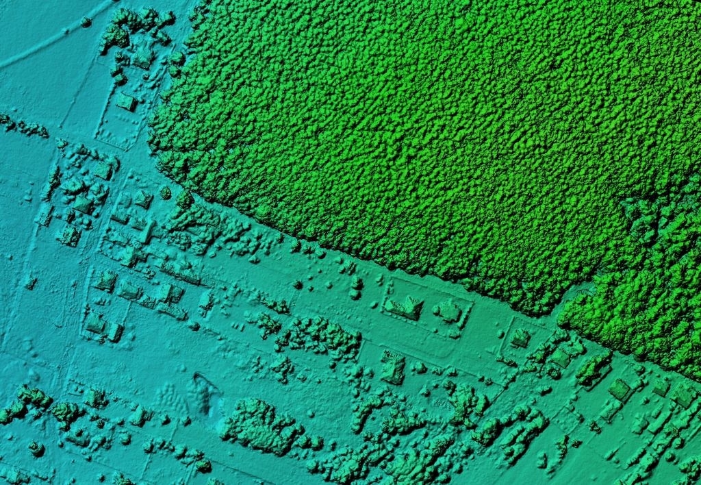
DRAINAGE PLANNING
Drones are a valuable tool for everything from earthworks, crop management, hydrology, and drainage mapping. Drainage management is done to improve the field surface to promote healthy crops. It improves conditions for planting, cultivation, and harvesting. Drones capture high-quality images which can be used for effective surface evaluations. Proper evaluation allows for the implementation of a well-executed drainage system.