
Our Services
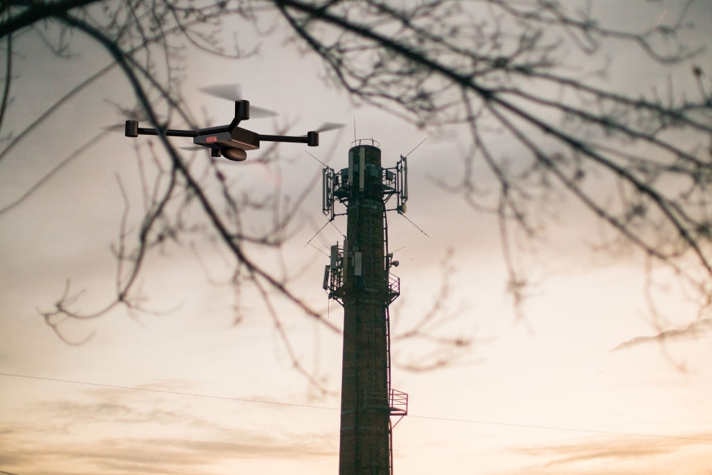
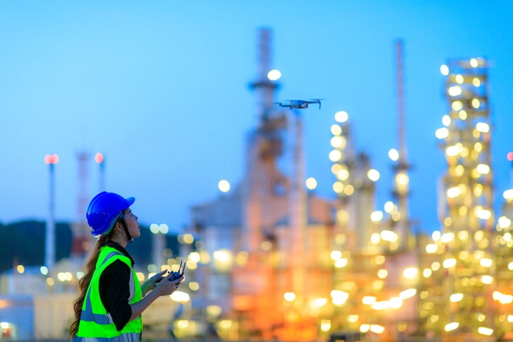
Various industries are relying on drone inspections these days. Drones are being used for visual inspections as a part of maintenance procedures. The drone technology prevents inspectors from jeopardizing their health and also helps save a lot of money.
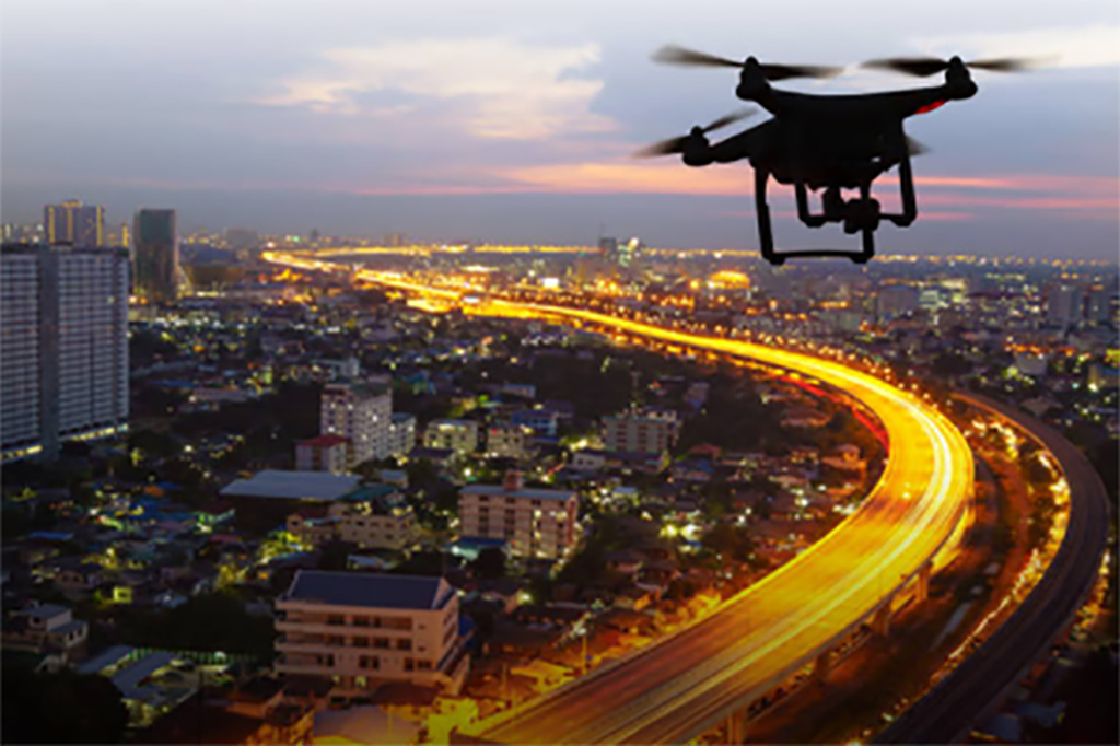
Photography is an interesting prospect, and when coupled with drones, it becomes even more exciting. Drones are now being used to capture breathtaking landscapes that are otherwise difficult to behold.
Construction companies have been using drones to quickly and efficiently get visual data on the entire site’s status. The companies can avoid potential delays and run over their budget.

Photogrammetry is a process where information is extracted from photos to create maps and models. UAVs’ high-resolution aerial photography combined with powerful GIS mapping offers models that can be used for several situations.
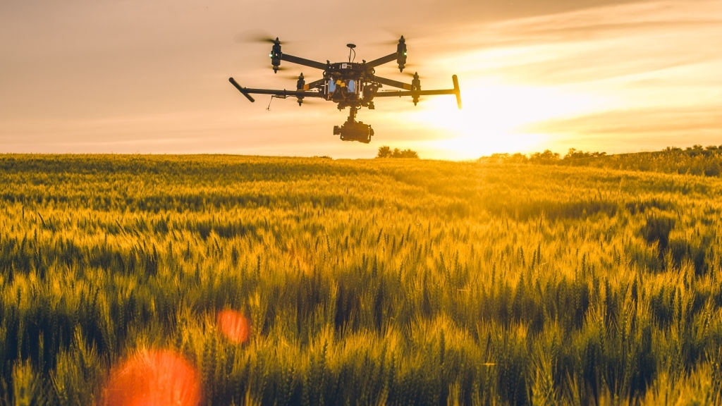
In the last few years, the use of drones in agriculture has increased. Drones are being used for various purposes, including crop inspection, field mapping, and ensuring optimum health and productivity of crops.
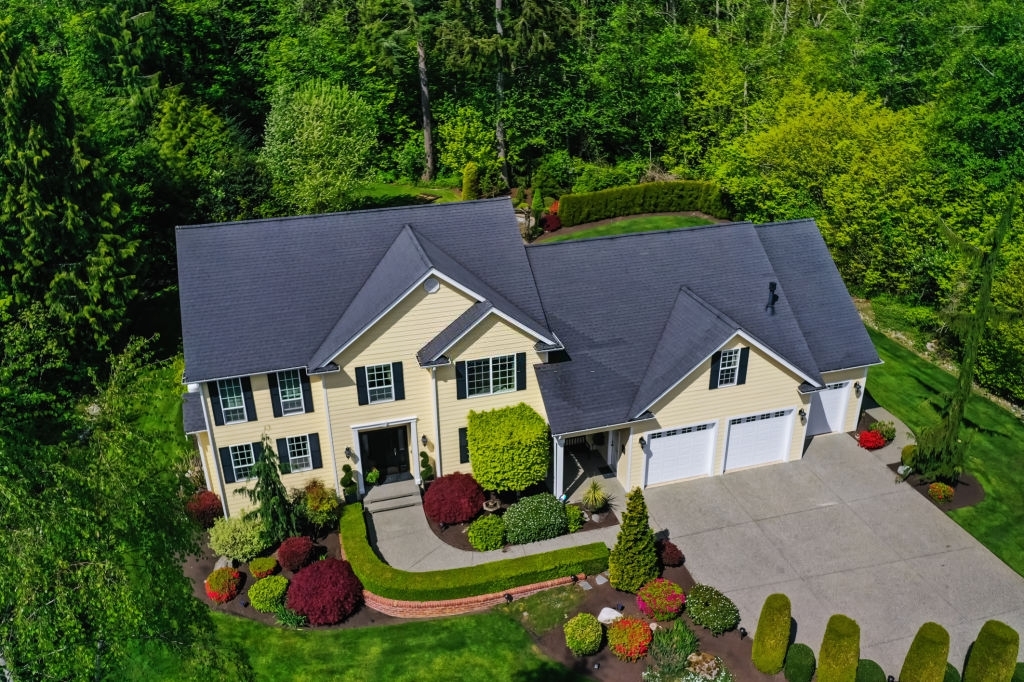
Drone technology is being used to enhance the real-estate sector. They are revolutionizing the way the real-estate industry is marketing and selling properties.